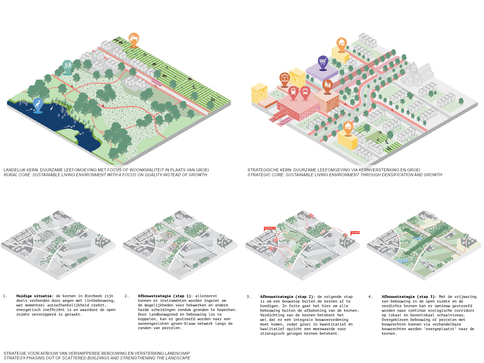
Flanders’ is characterized by scattered spatial policy that has resulted in great loss of energy, biodiversity, time, money and space.
The ‘Bouwmeesterscan’ is a tool to help signal weaknesses and opportunities in spatial policy for local governments, and translates these into a concrete agenda of projects and policy changes for the transition towards a healthy and sustainable living environment. Spatial decisions are connected to challenges such as the energy transition, the mobility shift healthy urban environments and a balance between ecology and productive open space.
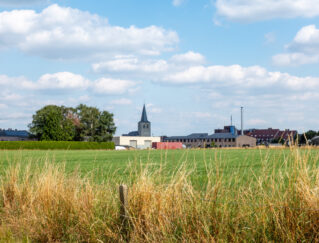
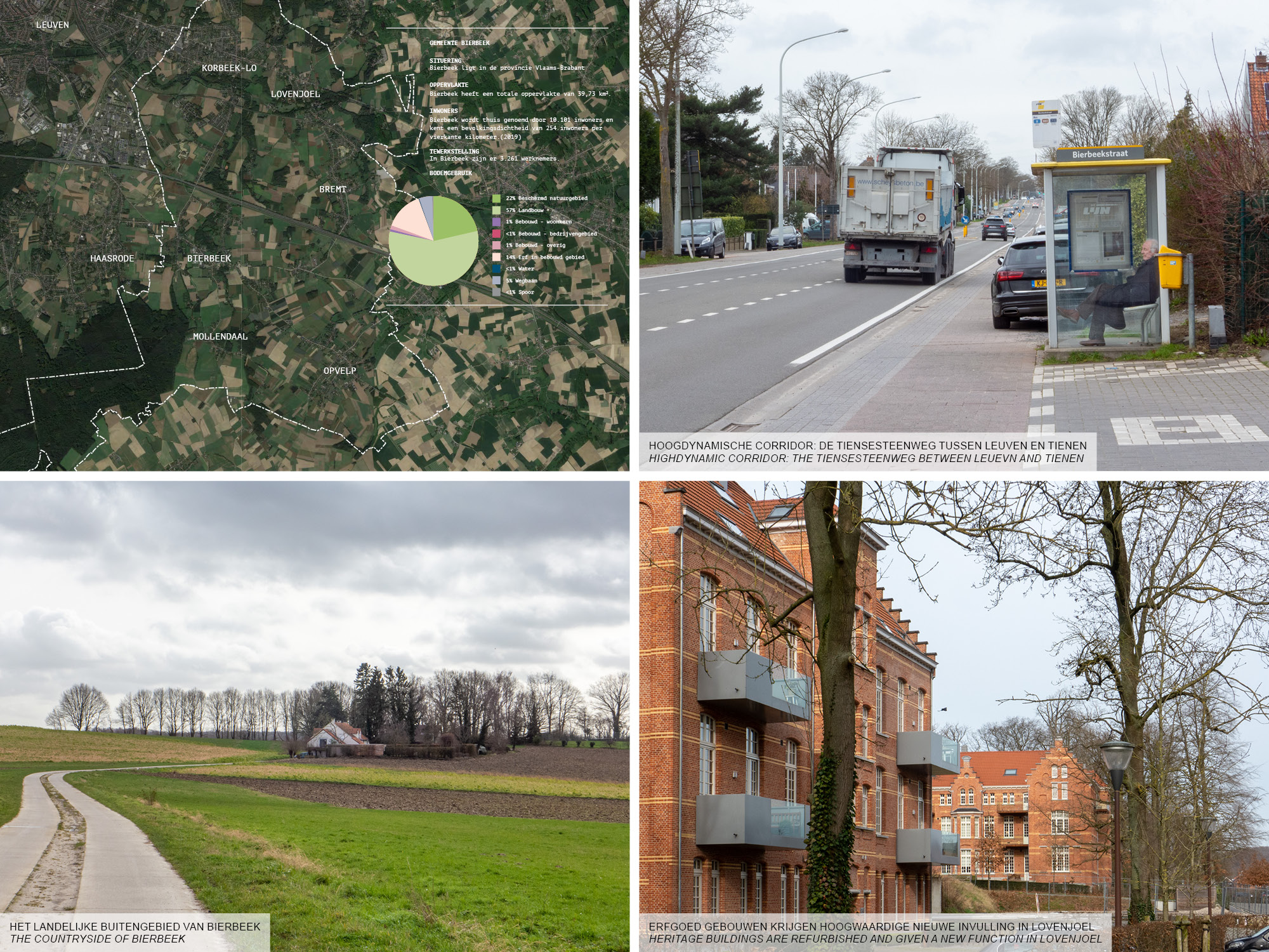
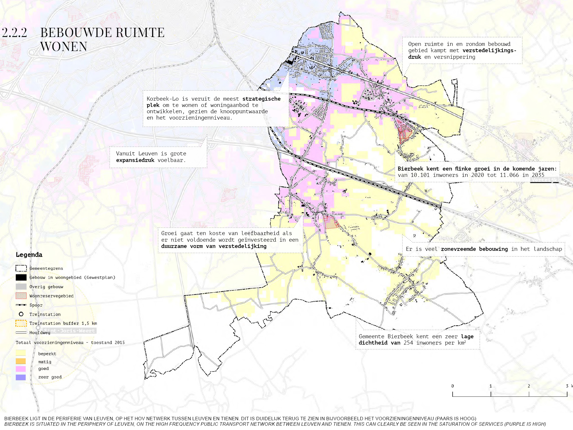
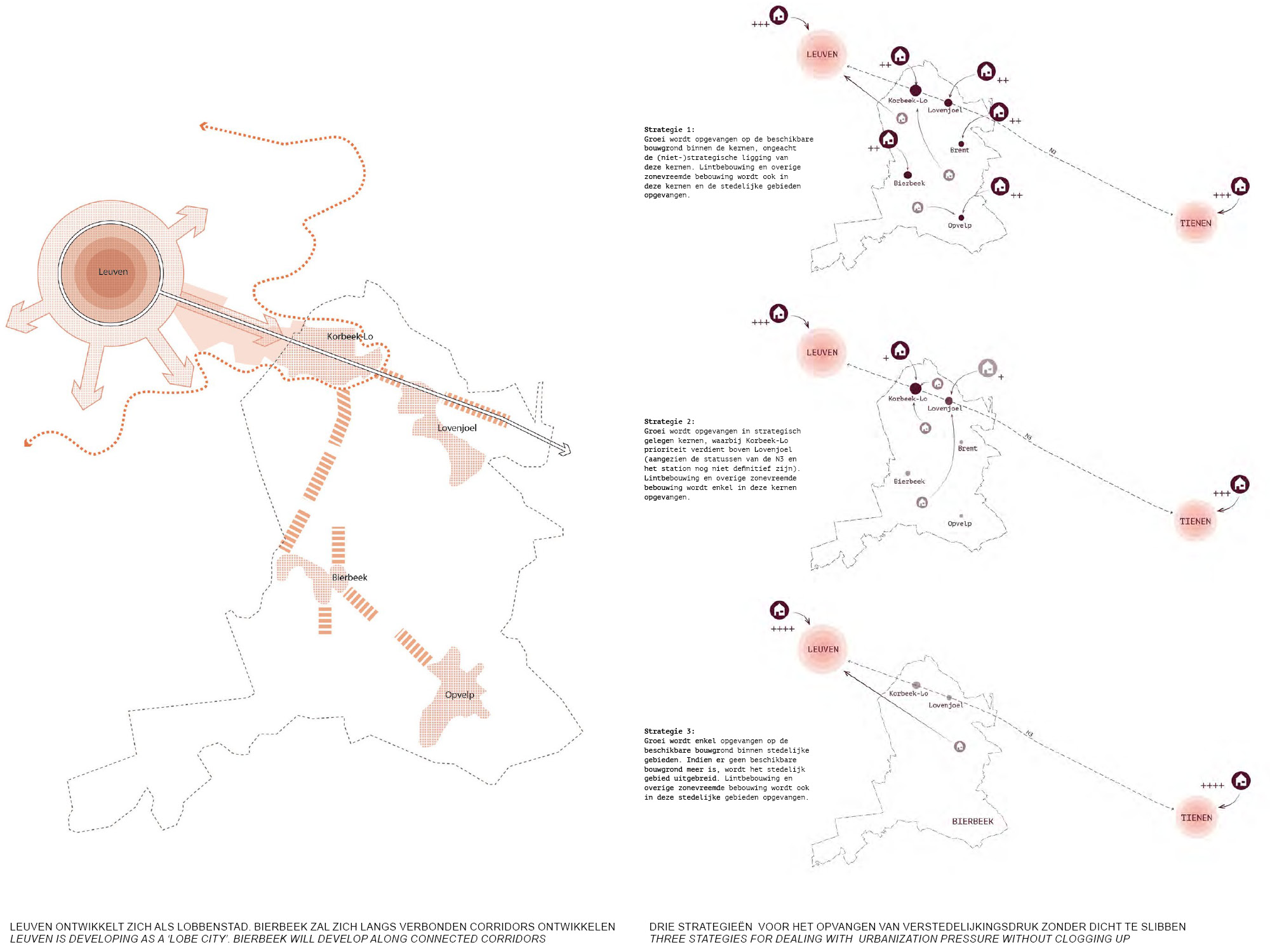
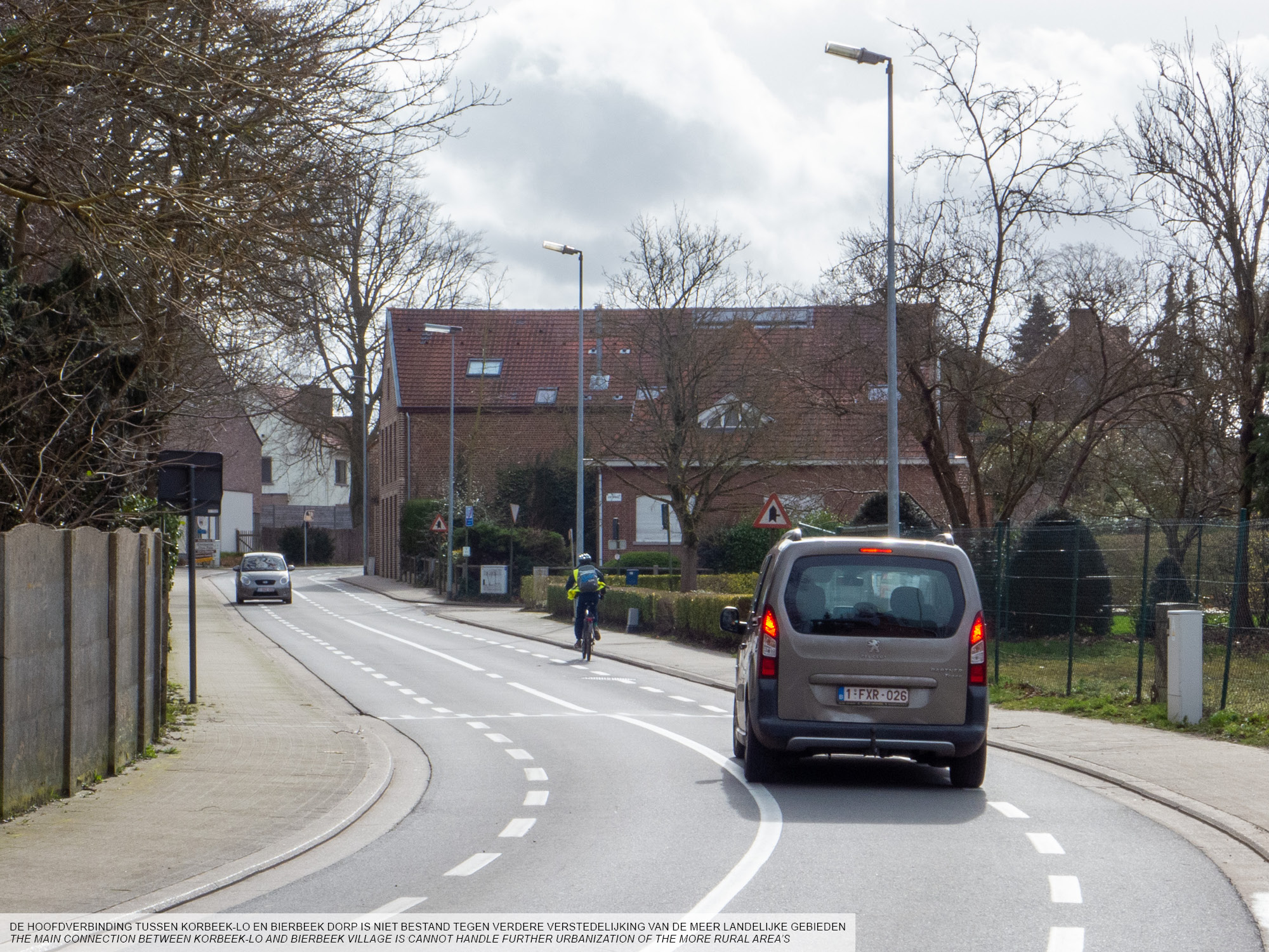
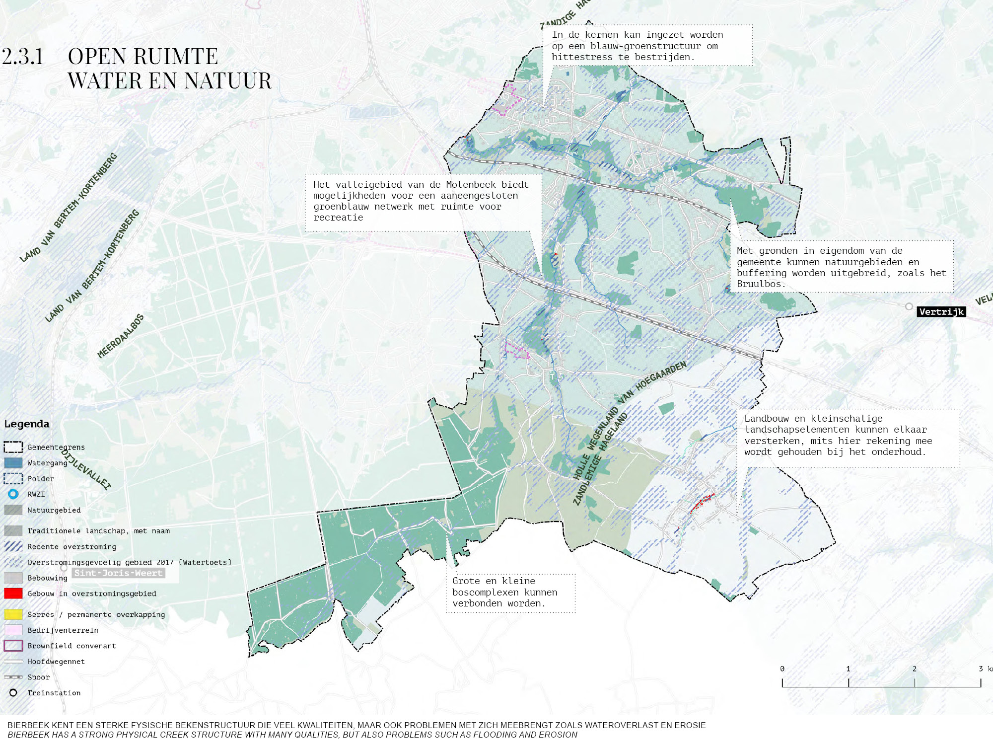
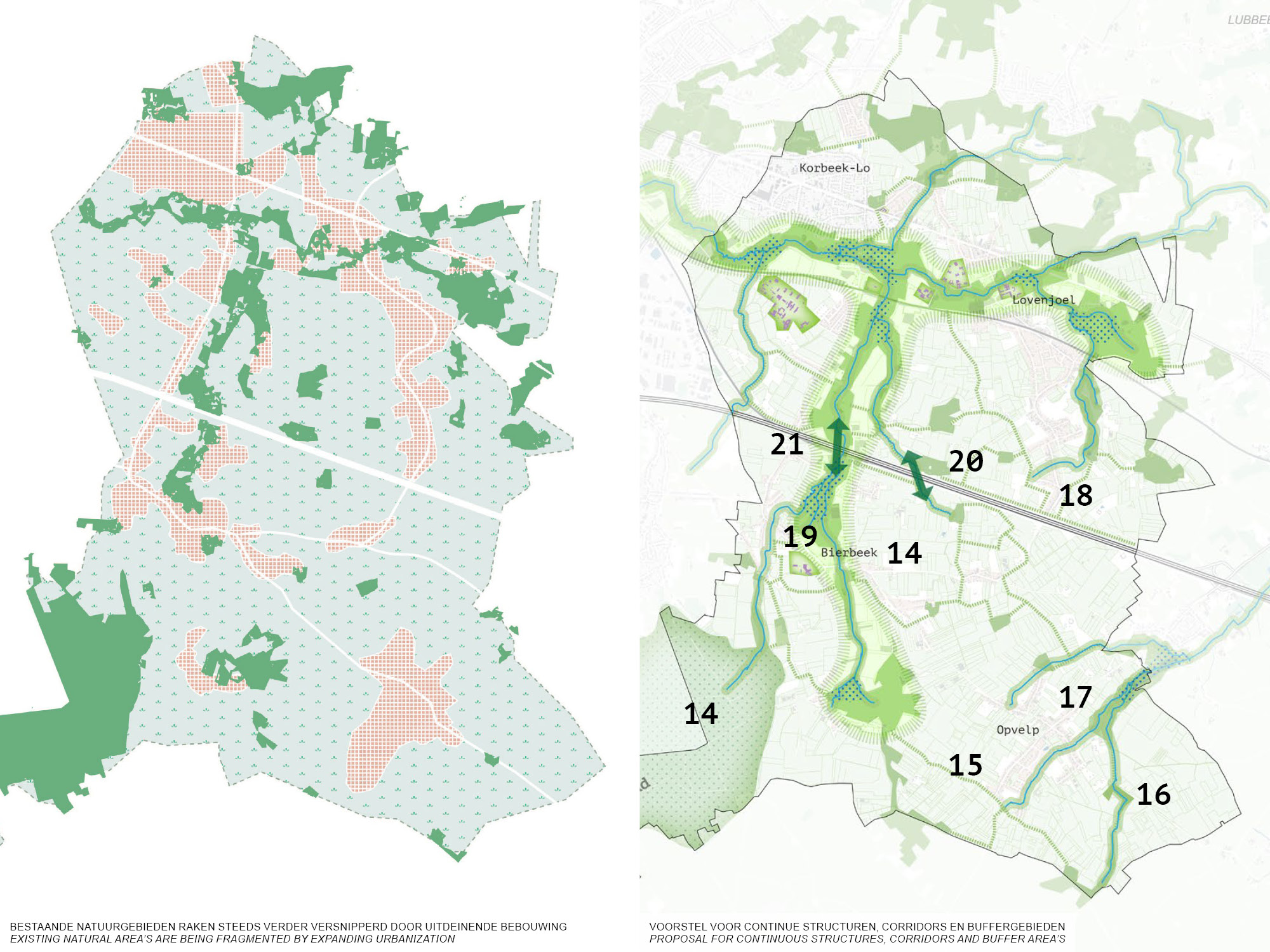
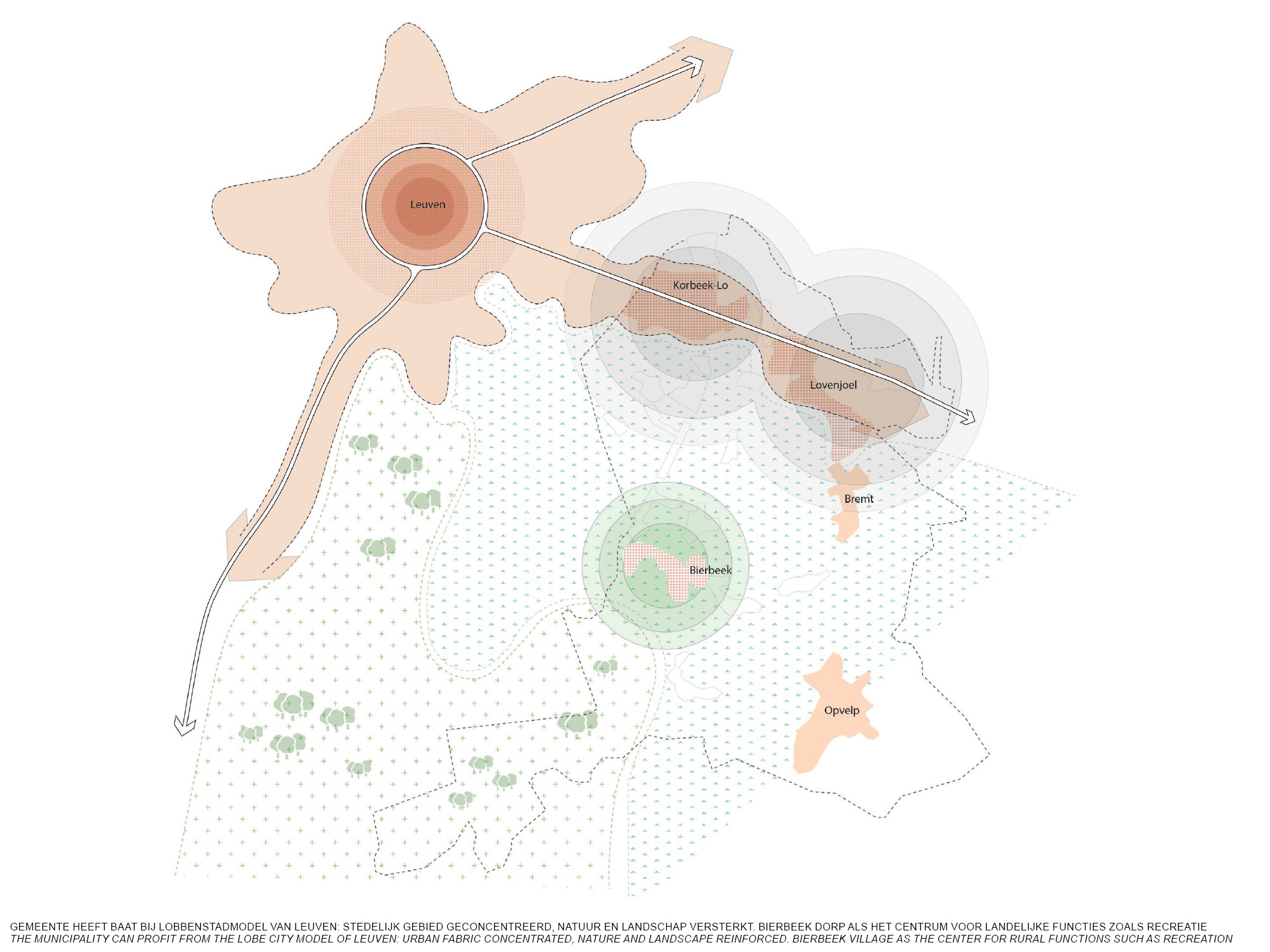
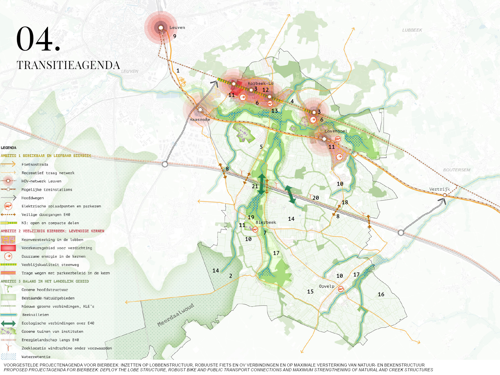
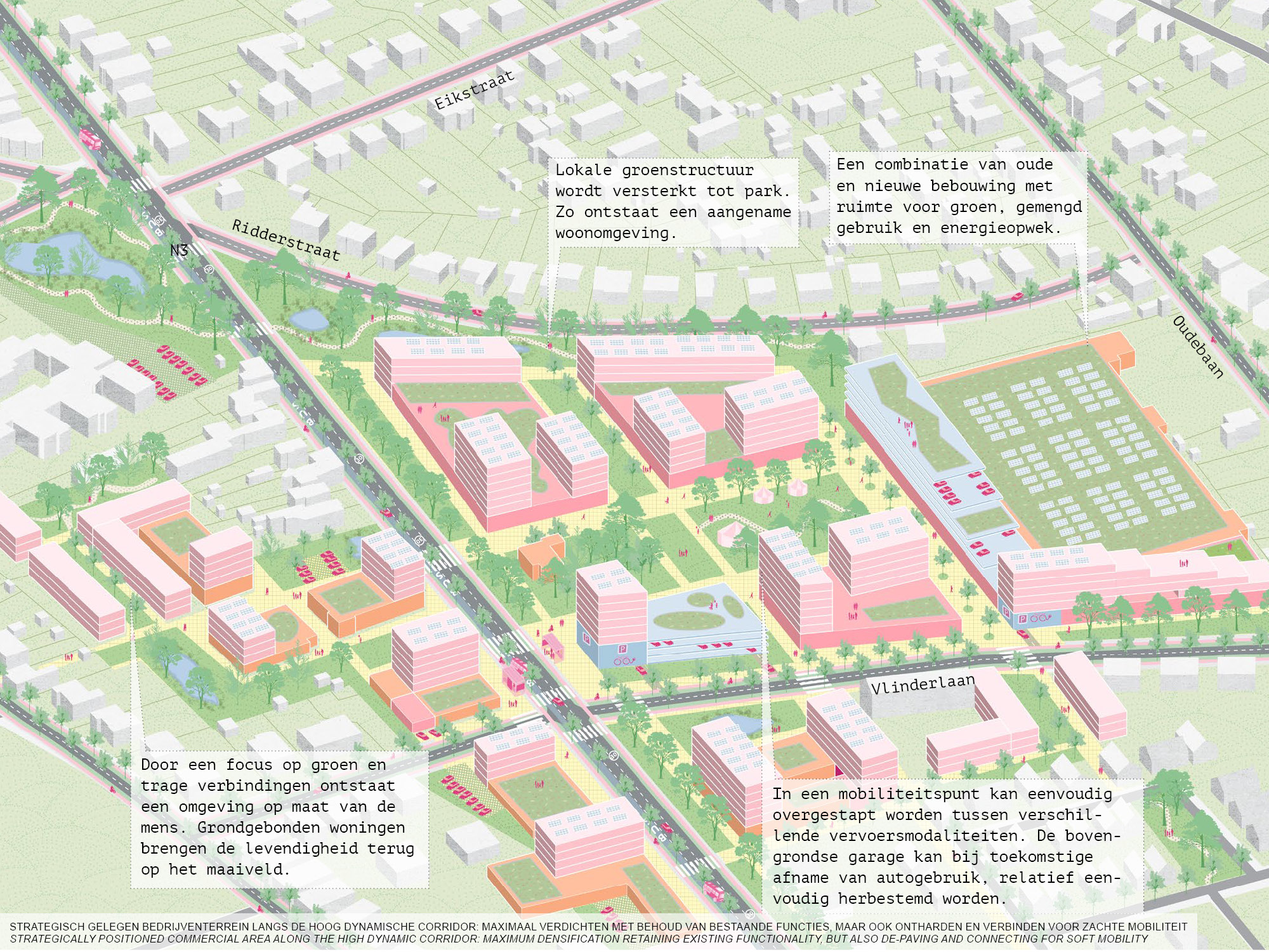
The municipality of Bierbeek is situated between Leuven and Tienen, which are connected by the Tiensesteenweg. Along this corridor lie the biggest cores of the municipality: Korbeek-Lo and Lovenjoel. As a fusion municipality however, development in Bierbeek is mostly spread over these two cores, but also Bierbeek as the main village. The expansion of Leuven rapidly increases urbanization pressure in the municipality, as well as the increased traffic that comes with it. The local infrastructure is not equipped to deal with this increase. The municipality is at a crossroad: either they embrace the ‘lobe structure’ as proposed by Leuven, halting development of Bierbeek village, or development keeps being spread out, posing the risk of losing qualities in terms of nature and livability.
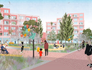
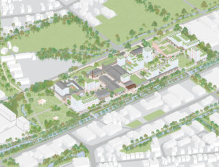
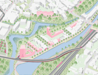
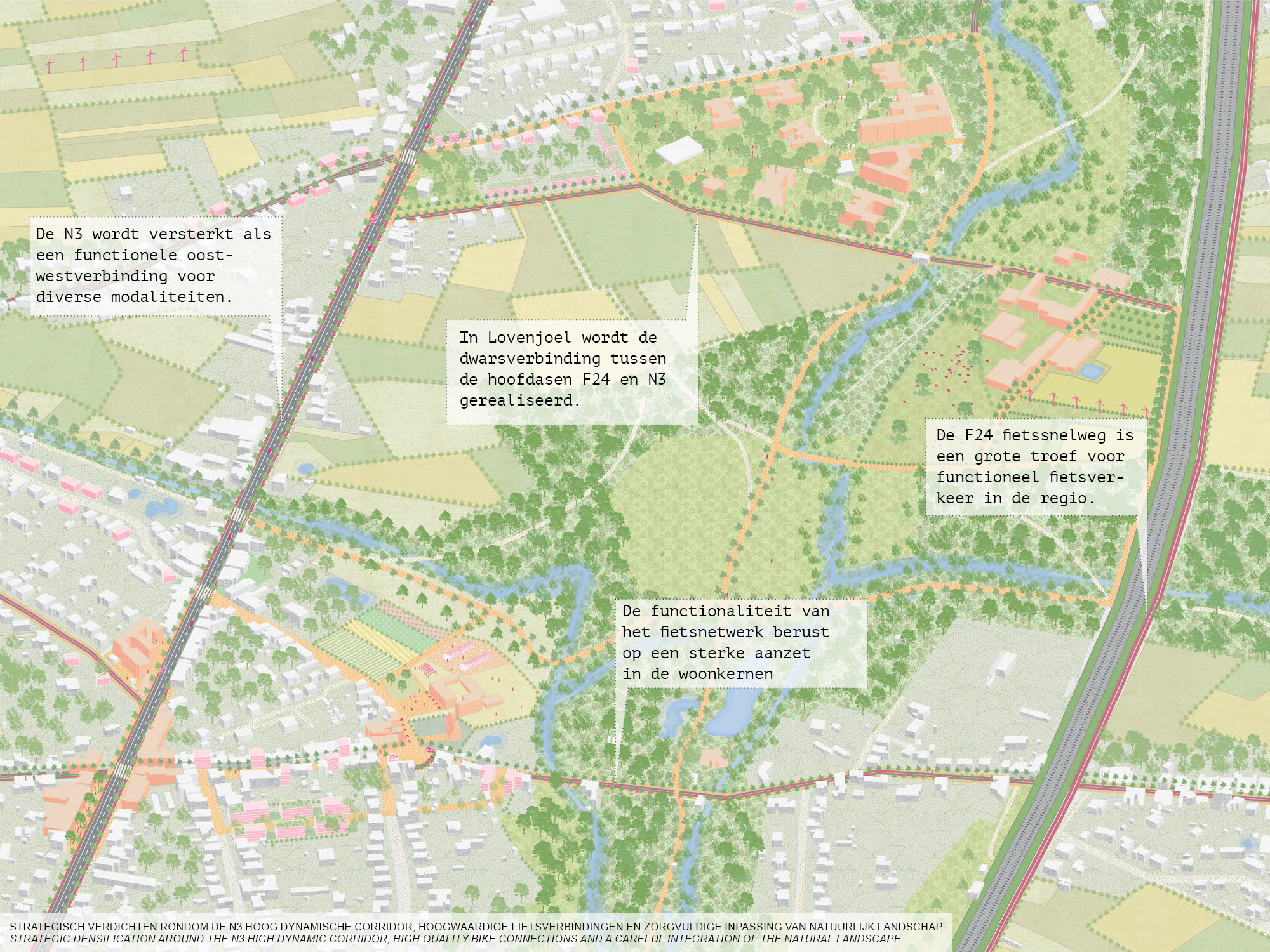
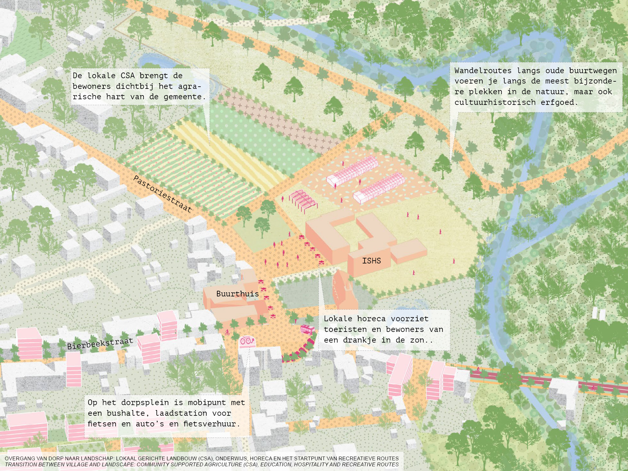
In the proposal the lobe structure is embraced and further development happens only along the high dynamic corridor towards Leuven. This allows the municipality to develop and maintain high living quality, but also profile itself as a rural and recreative municipality.
The full report can be found on the website of the Flemish Bouwmeester: vlaamsbouwmeester.be
Status: Study 2019
Team: Johan de Wachter, Joris van Arkel, Anna-Dobrawa Kicińska
Collaboration: PosadMaxwan, Generation.Energy, VE-R, Deltares
Client: Team Vlaamse Bouwmeester, Municipality Bierbeek
Location: Bierbeek, Antwerpen, BE

