Flanders’ is characterized by scattered spatial policy that has resulted in great loss of energy, biodiversity, time, money and space.
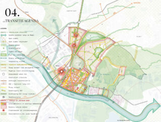
The ‘Bouwmeesterscan’ is a tool to help signal weaknesses and opportunities in spatial policy for local governments, and translates these into a concrete agenda of projects and policy changes for the transition towards a healthy and sustainable living environment. Spatial decisions are connected to challenges such as the energy transition, the mobility shift healthy urban environments and a balance between ecology and productive open space.
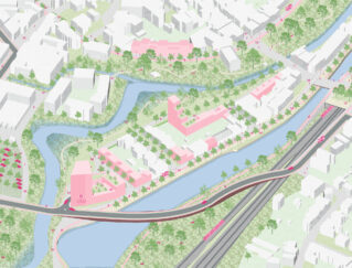
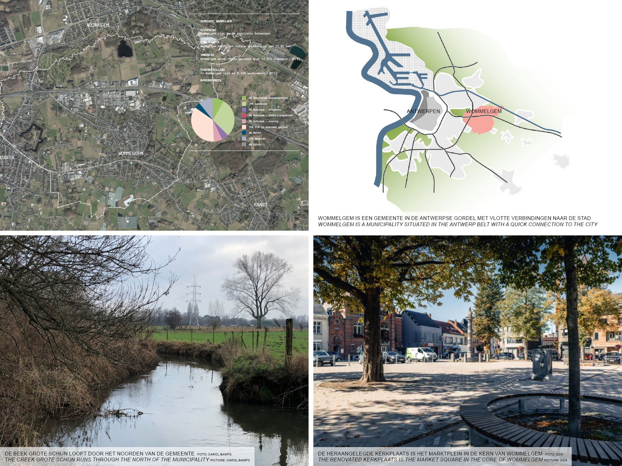
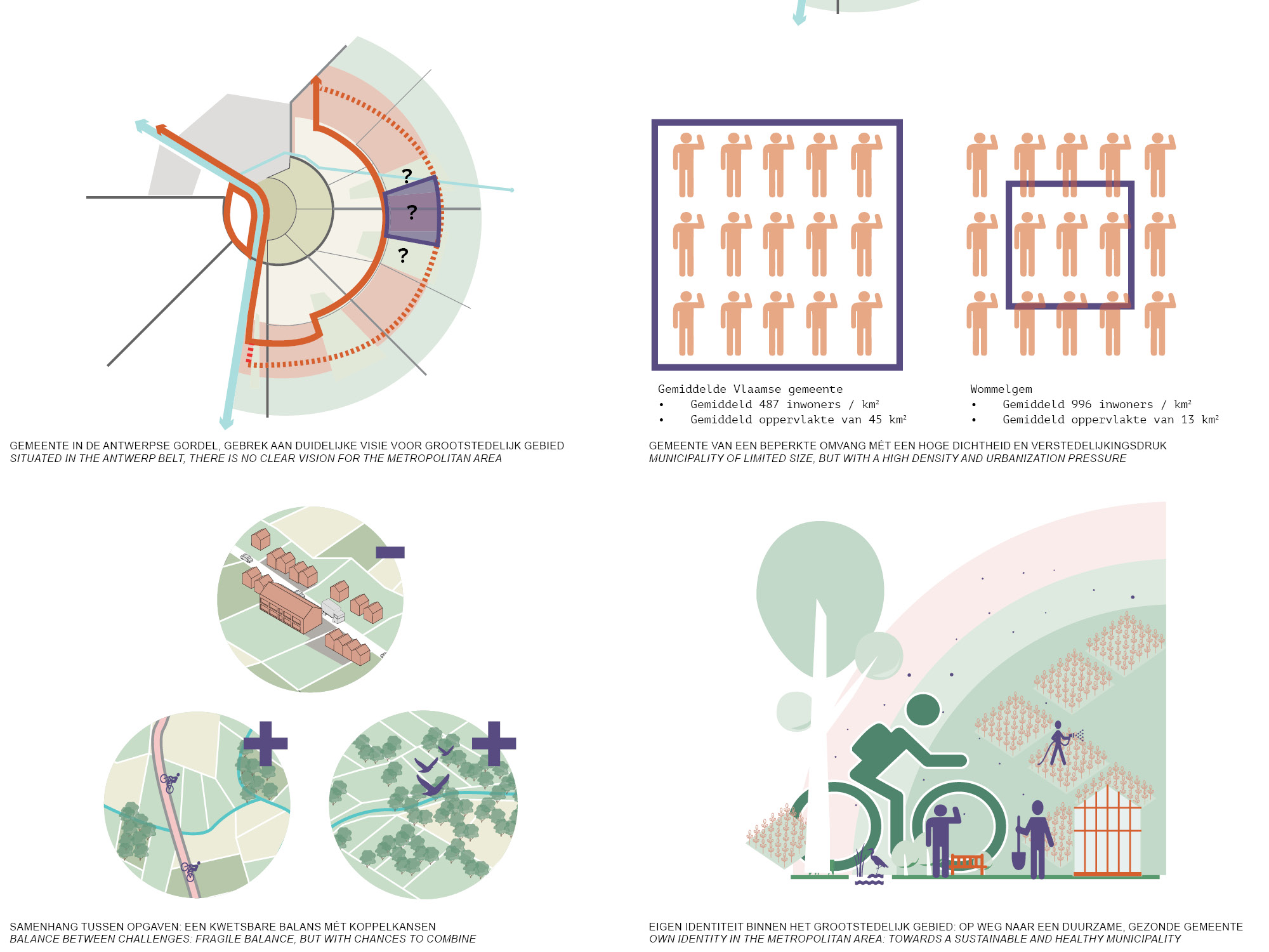
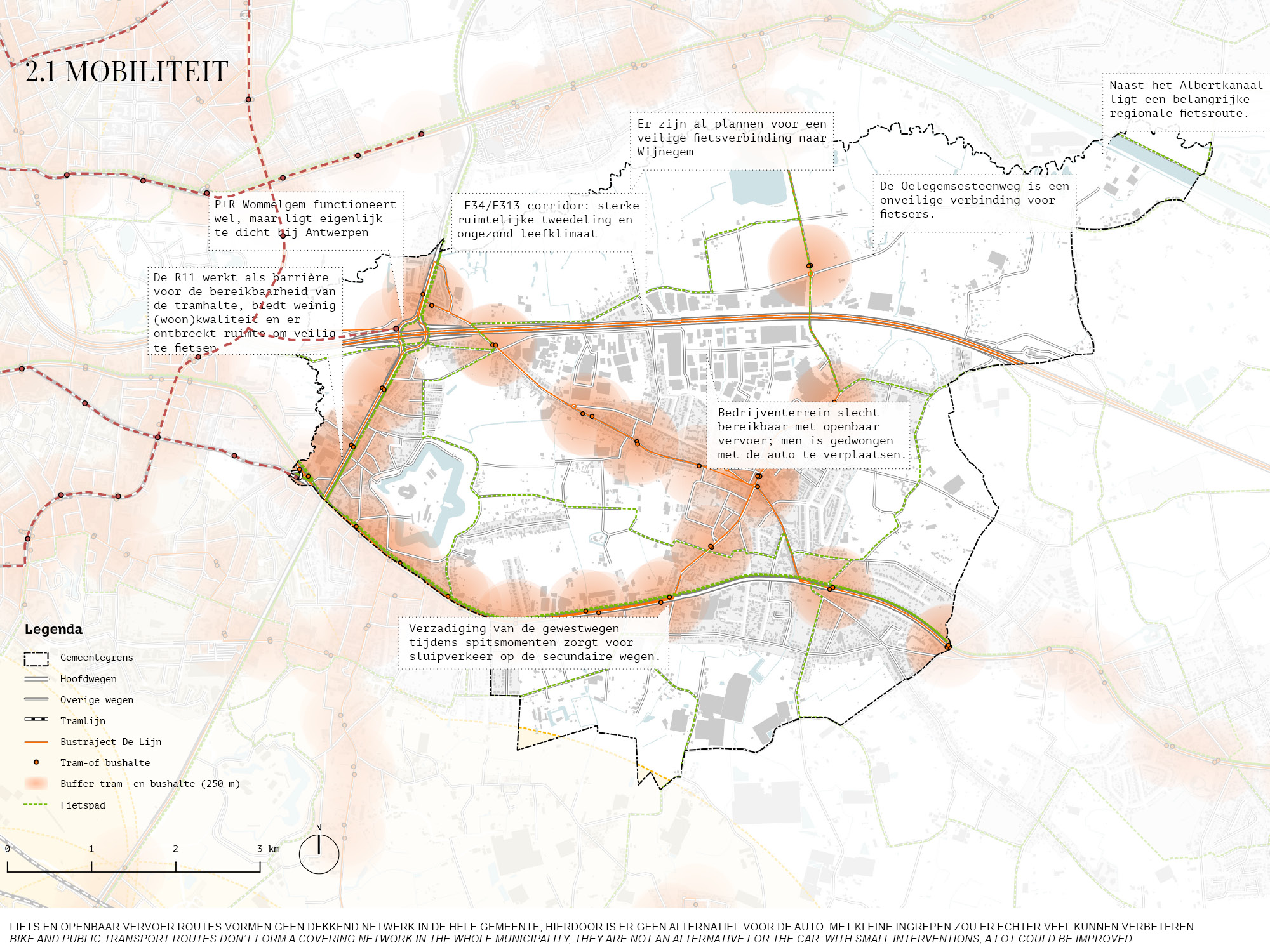
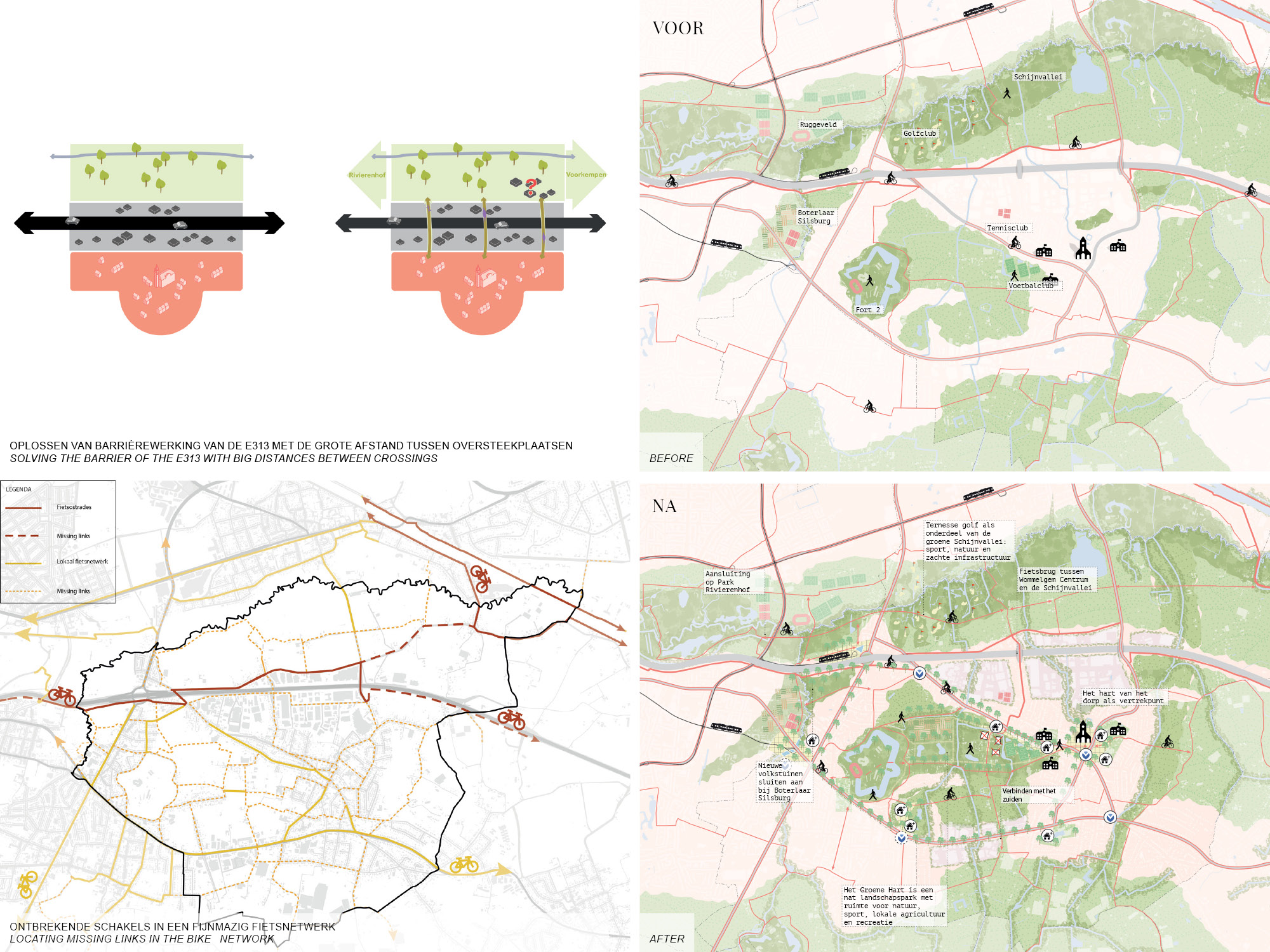
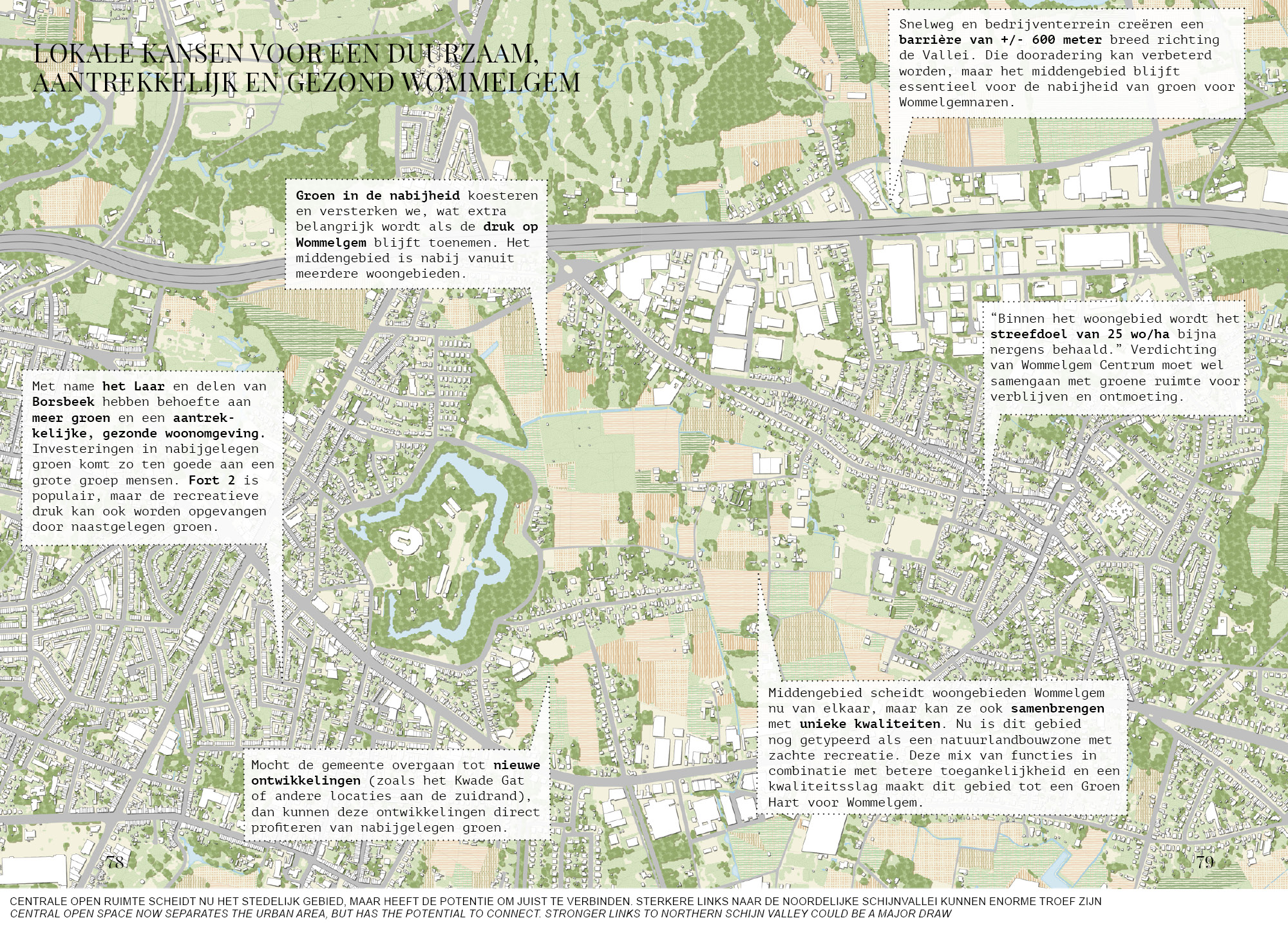
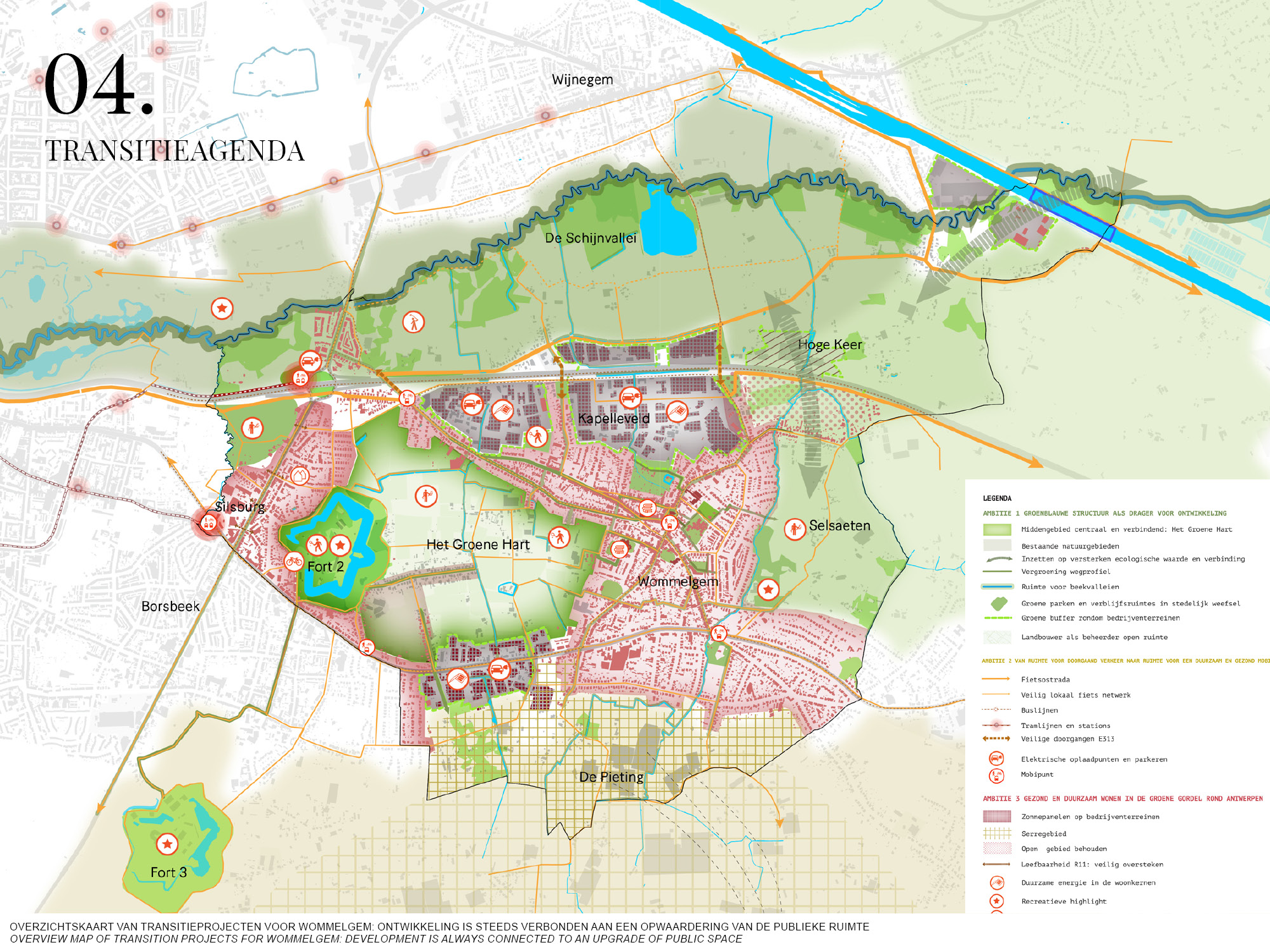
Wommelgem is situated in the metropolitan belt around Antwerp. This makes for good amenities, but also for urbanization pressure. A clear vision about this is currently lacking: is Wommelgem a municipality with its own identity, or an extension of the big city? Tram lines for instance don’t currently reach the core of the municipality, and access roads to Antwerp form spatial barriers, for example towards the green finger of the Grote Schijn creek valley. The bicycle highway here leads trough park Rivierenhof directly towards the heart of the city, an enormous potential plus.
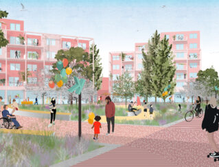
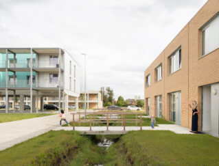
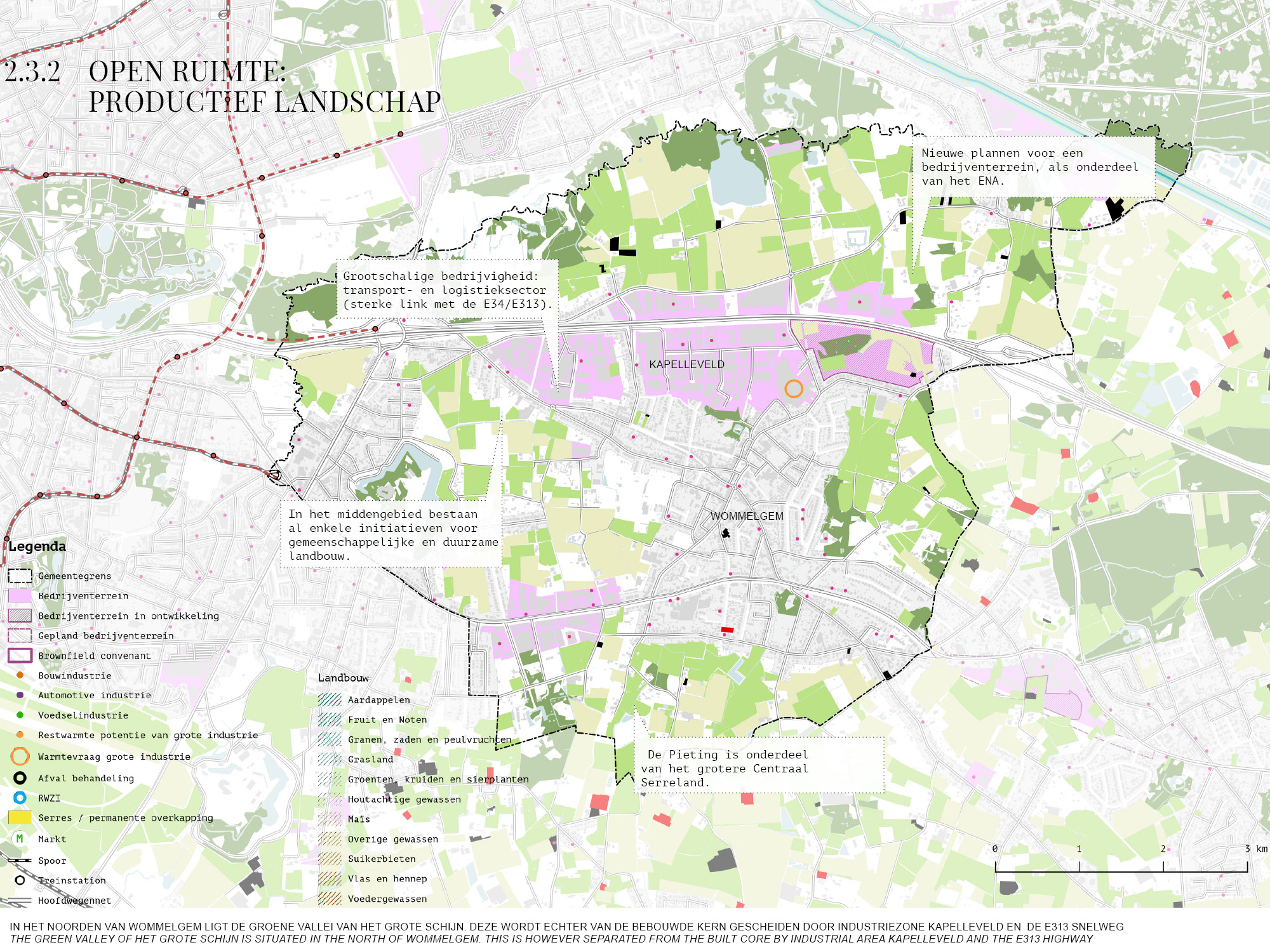
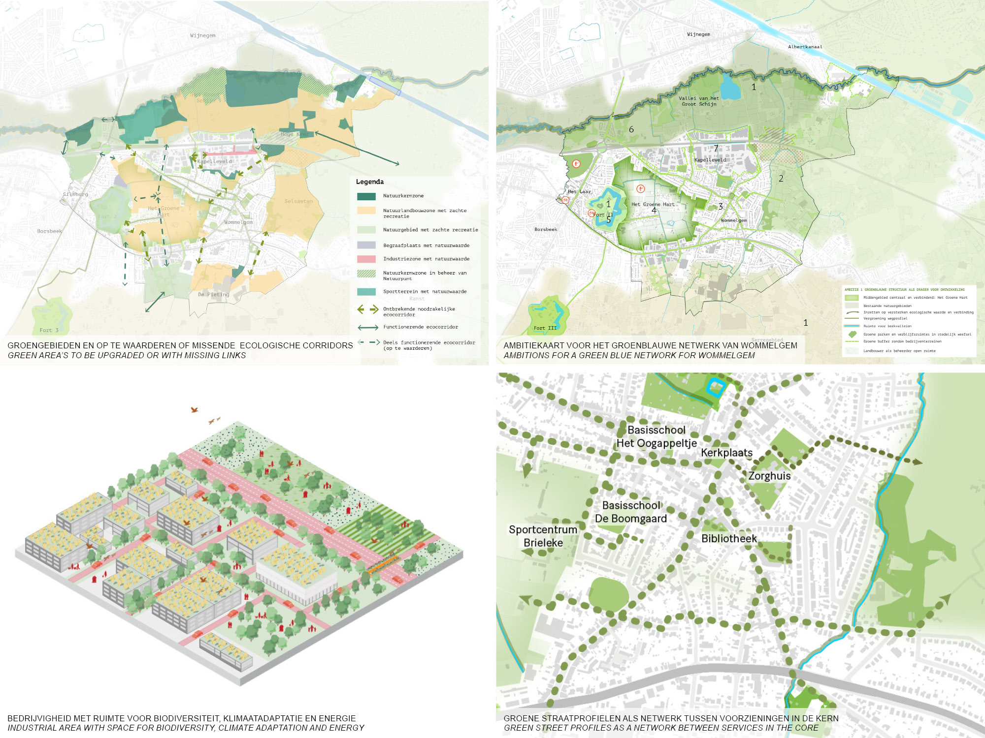
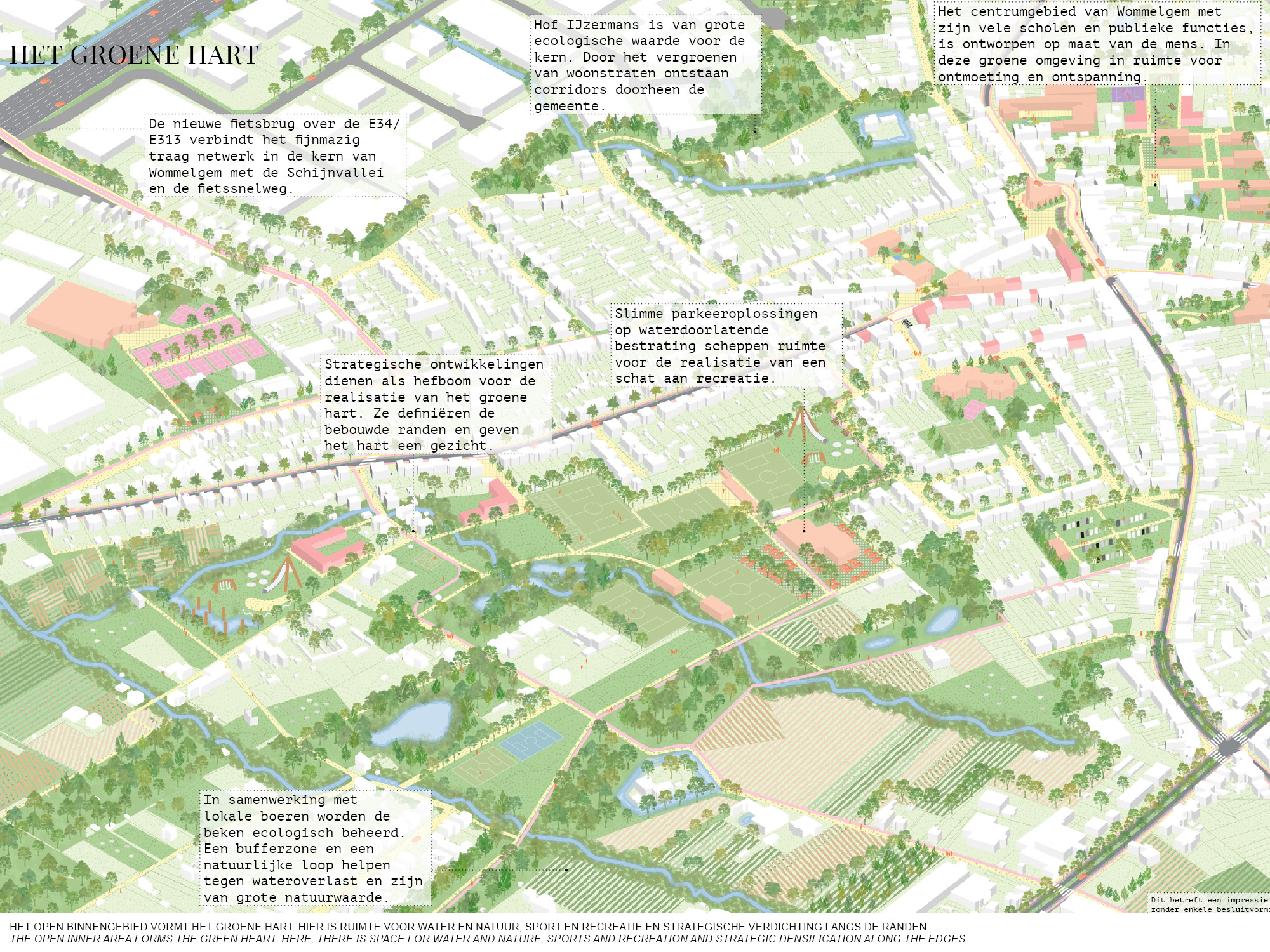
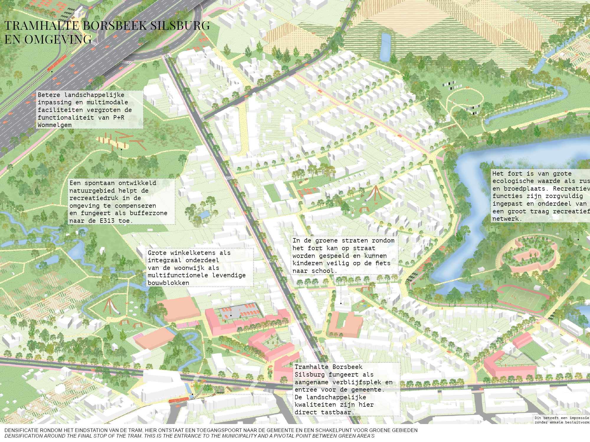
For a dense municipality like Wommelgem, it is of great importance to be vigilant of living quality for its inhabitants. Densification is possible, but under conditions: high quality public transport as an alternative for the car, accessible green, space for recreation and proper bike connections. The open inner area of the municipality currently consists of fragmented farmlands but could potentially be transformed to a green heart for the inhabitants. The heart will have space for water and nature, sport and recreation and for strategic and qualitative densification along the edges of the area.
The full report can be read on: Vlaamsbouwmeester.be
Status: Study 2021
Team: Johan de Wachter, Joris van Arkel
Collaboration: PosadMaxwan
Client: Team Vlaamse Bouwmeester, Municipality Wommelgem
Location: Wommelgem, Antwerpen, BE

